
Weather Story
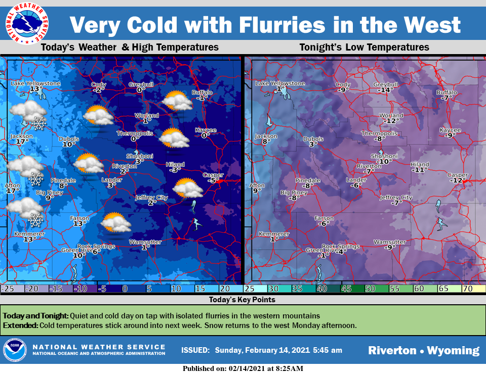
Cold and quiet today with isolated snow flurries in the western mountains. Dangerous wind chills will continue across the east. Cold will stick around into next week with the next chance of snow Monday afternoon.
– Detailed Forecast –
Today
Scattered snow showers, mainly after 1pm. Mostly cloudy, with a high near 25. Wind chill values as low as -10. Southwest wind 6 to 14 mph. Chance of precipitation is 30%.
Tonight
Scattered snow showers, mainly before 8pm. Mostly cloudy, with a low around 17. Breezy, with a west southwest wind around 16 mph. Chance of precipitation is 30%
Tuesday
Partly sunny, with a high near 29. Breezy, with a west wind 15 to 20 mph, with gusts as high as 25 mph.
Tuesday Night
Partly cloudy, with a low around 13. Breezy, with a west wind 11 to 16 mph, with gusts as high as 24 mph.
Wednesday
A 20 percent chance of snow before 11am. Partly sunny, with a high near 26. West northwest wind 9 to 13 mph, with gusts as high as 20 mph.
Wednesday Night
Partly cloudy, with a low around 2. West wind 8 to 10 mph.
Thursday
Sunny, with a high near 24. West wind 9 to 14 mph, with gusts as high as 22 mph.
Thursday Night
A 30 percent chance of snow after 11pm. Partly cloudy, with a low around 9. Breezy.
Friday
A 20 percent chance of snow. Partly sunny, with a high near 34.
Friday Night
A 30 percent chance of snow, mainly after 11pm. Partly cloudy, with a low around 15. Breezy.
Saturday
A chance of snow. Partly sunny, with a high near 31.
Saturday Night
A slight chance of snow. Partly cloudy, with a low around 11. Breezy.
Sunday
Mostly sunny, with a high near 31. Breezy.
Whatever the weather, have a wonderful day!
From all of us here at SweetwaterNOW

