
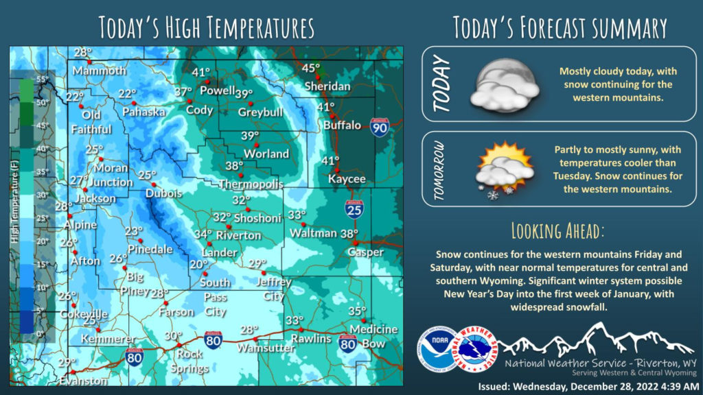
Weather Story
Cooler temperatures the next couple days, with light snow continuing across the western mountains.
– Detailed Forecast –
Today
A 20 percent chance of snow before 9am. Cloudy through mid morning, then gradual clearing, with a temperature rising to near 30 by noon, then falling to around 24 during the remainder of the day. Blustery, with a west wind 14 to 18 mph, with gusts as high as 28 mph.
Tonight
Mostly clear, with a low around 13. Wind chill values as low as zero. Breezy, with a west southwest wind 13 to 15 mph, with gusts as high as 23 mph.
Thursday
Mostly sunny, with a high near 23. Wind chill values as low as zero. Breezy, with a west wind 9 to 15 mph, with gusts as high as 23 mph.
Thursday Night
Mostly cloudy, with a low around 10. South southwest wind around 9 mph.
Friday
A 40 percent chance of snow. Mostly cloudy, with a high near 31. Breezy, with a south southwest wind 9 to 16 mph, with gusts as high as 23 mph. New snow accumulation of less than a half inch possible.
Friday Night
A 40 percent chance of snow. Mostly cloudy, with a low around 22. Breezy, with a west southwest wind 15 to 18 mph, with gusts as high as 28 mph.
Saturday
A 40 percent chance of snow, mainly after 11am. Mostly cloudy, with a high near 33. Breezy, with a west southwest wind 10 to 16 mph, with gusts as high as 23 mph.
Saturday Night
Snow, mainly after 11pm. Low around 25. Chance of precipitation is 80%.
Sunday
Snow. High near 35. Chance of precipitation is 80%.
Sunday Night
A 50 percent chance of snow. Mostly cloudy, with a low around 16.
Monday
A slight chance of snow. Partly sunny, with a high near 23.
Monday Night
Mostly cloudy, with a low around 2.
Tuesday
Partly sunny, with a high near 19.
Whatever the weather, have a wonderful day!
From all of us here at SweetwaterNOW

