
Weather Story
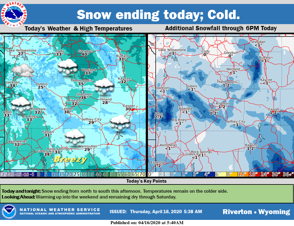
Cold today with snow ending from north to south this afternoon. Additional snow accumulations will generally be light. Expect a warming trend into the weekend with weather remaining dry through the day Saturday.
– Detailed Forecast –
Today
A 50 percent chance of snow, mainly before 2pm. Cloudy, then gradually becoming mostly sunny, with a high near 31. Blustery, with an east northeast wind 16 to 24 mph, with gusts as high as 33 mph. New snow accumulation of less than a half inch possible.
Tonight
Mostly clear, with a low around 14. Blustery, with an east northeast wind 5 to 15 mph becoming southwest after midnight. Winds could gust as high as 21 mph.
Friday
Sunny, with a high near 48. West wind 5 to 11 mph.
Friday Night
Mostly clear, with a low around 22. Southwest wind 5 to 9 mph.
Saturday
Partly cloudy, with a low around 29. West southwest wind 6 to 13 mph.
Saturday Night
Mostly clear, with a low around 18. West southwest wind 6 to 10 mph.
Sunday
Mostly sunny, with a high near 54.
Sunday Night
Mostly clear, with a low around 30.
Monday
Mostly sunny, with a high near 57.
Monday Night
Mostly cloudy, with a low around 35.
Tuesday
A chance of rain and snow. Mostly sunny, with a high near 58.
Tuesday Night
Partly cloudy, with a low around 33.
Wednesday
Mostly sunny, with a high near 62.
Whatever the weather, have a wonderful day!
From all of us here at SweetwaterNOW

