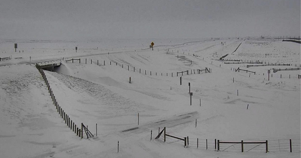
CHEYENNE — The storm front that brought all this snow to southern Wyoming looks like its going to hang around for a few more days.
The latest Wyoming Department of Transportation Road Impact Forecast is calling for widespread blowing and drifting snow, poor visibility and near whiteout conditions along part of Interstates 80 and 25, and South Pass.
Gusts up to 65 miles per hour will create extreme blow over conditions and prolonged road closures through Wednesday afternoon.
Advertisement - Story continues below...
Check out the entire Road Impact Forecast below, and watch for current road and travel conditions on the WYDOT website.