
Weather Story
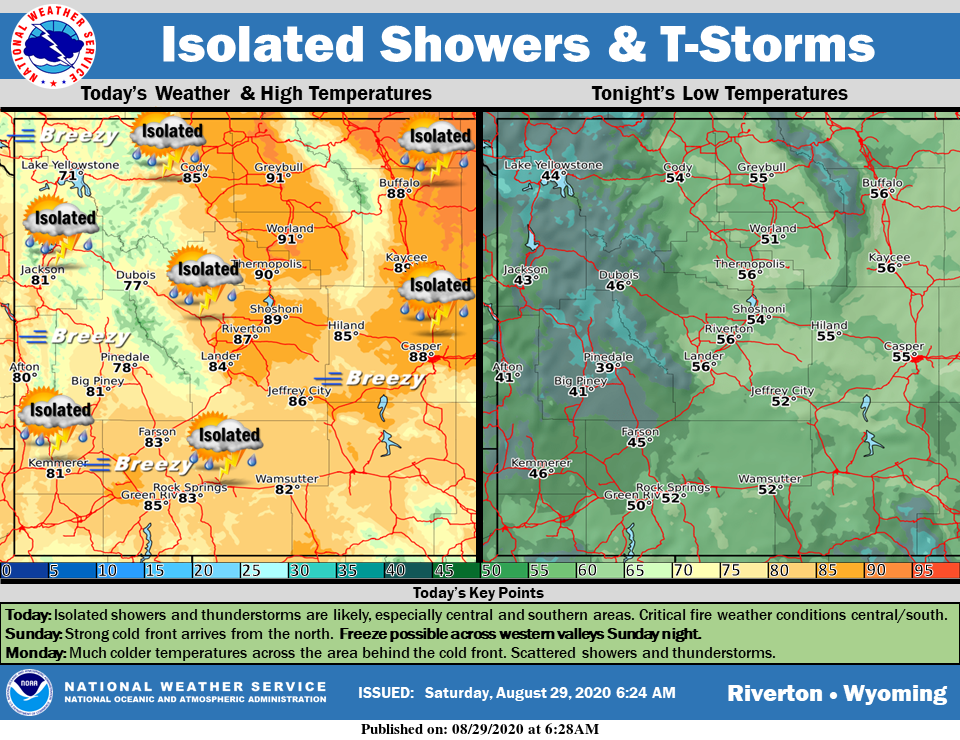
A cold front will slide south across the area today, with isolated showers across northern areas. Elevated to critical fire weather conditions are again expected across much of central and southern areas. A freeze is possible across western Wyoming tonight. Expected colder temperatures on Monday, with widespread rain showers, especially across western Wyoming.
– Detailed Forecast –
Today
Areas of smoke. Sunny, with a high near 80. Windy, with a west wind 8 to 13 mph increasing to 21 to 26 mph in the afternoon. Winds could gust as high as 46 mph.
Tonight
Mostly clear, with a low around 42. Windy, with a west northwest wind 20 to 25 mph becoming east southeast 8 to 13 mph in the evening. Winds could gust as high as 40 mph.
Monday
Isolated showers after 3pm. Increasing clouds, with a high near 71. Breezy, with a southeast wind 8 to 13 mph becoming west 19 to 24 mph in the morning. Winds could gust as high as 37 mph. Chance of precipitation is 20%.
Monday Night
A 30 percent chance of showers before midnight. Cloudy during the early evening, then gradual clearing, with a low around 37. Breezy, with a west wind 15 to 20 mph decreasing to 5 to 10 mph after midnight. Winds could gust as high as 29 mph.
Tuesday
Sunny, with a high near 75. West wind 6 to 13 mph.
Tuesday Night
Clear, with a low around 46. West wind 6 to 13 mph.
Wednesday
Sunny, with a high near 82. Breezy, with a west southwest wind 6 to 11 mph increasing to 12 to 17 mph in the afternoon. Winds could gust as high as 25 mph.
Wednesday Night
Clear, with a low around 49. Breezy.
Thursday
Sunny, with a high near 82.
Thursday Night
Clear, with a low around 49.
Friday
Sunny, with a high near 85.
Friday Night
Clear, with a low around 49.
Saturday
Sunny, with a high near 86.
Whatever the weather, have a wonderful day!
From all of us here at SweetwaterNOW

