
Weather Story
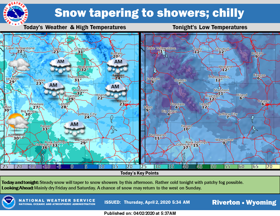
Periods of snow early will taper to snow showers by noon today. Expect a cold night tonight with patchy fog possible if there is enough clearing. Friday and Saturday will be dry for most with moderating temperatures.
– Detailed Forecast –
Today
Snow likely, mainly before 1pm. Partly sunny, with a high near 33. Breezy, with a north wind 8 to 18 mph becoming west northwest in the afternoon. Winds could gust as high as 25 mph. Chance of precipitation is 60%. Total daytime snow accumulation of less than a half inch possible.
Tonight
Patchy fog after 11pm. Otherwise, partly cloudy, with a low around 16. Blustery, with a west wind 8 to 17 mph, with gusts as high as 24 mph.
Friday
Patchy fog before 1pm. Otherwise, sunny, with a high near 39. South southwest wind 5 to 9 mph.
Friday Night
Partly cloudy, with a low around 23. South wind 6 to 9 mph.
Saturday
Mostly sunny, with a high near 50. West southwest wind 7 to 13 mph, with gusts as high as 22 mph.
Saturday Night
Mostly cloudy, with a low around 19. South wind 6 to 10 mph.
Sunday
A 20 percent chance of rain after 1pm. Partly sunny, with a high near 53. Southwest wind 8 to 14 mph, with gusts as high as 23 mph.
Sunday Night
A 20 percent chance of rain before 7pm. Mostly cloudy, with a low around 32.
Monday
A 30 percent chance of rain after 1pm. Partly sunny, with a high near 54. Breezy.
Monday Night
A chance of rain before 10pm, then a slight chance of rain and snow between 10pm and 3am, then a slight chance of snow after 3am. Mostly cloudy, with a low around 31. Breezy. Chance of precipitation is 30%.
Tuesday
A chance of rain and snow. Partly sunny, with a high near 52.
Tuesday Night
A chance of rain. Partly cloudy, with a low around 30.
Wednesday
Mostly sunny, with a high near 54.
Whatever the weather, have a wonderful day!
From all of us here at SweetwaterNOW