
Weather Story
Significant snowfall over western mountains and valleys starting this morning, with the heaviest snowfall Thursday night into Friday morning. High winds for areas from Rock Springs to Casper and on the lee side of the Wind River Mountains. Snow chances spread eastward overnight and into Friday morning. Main weather impacts end around midday Friday.
– Detailed Forecast –
Today
Mostly sunny, with a high near 36. Wind chill values as low as -5. Windy, with a southeast wind 11 to 16 mph becoming south 20 to 25 mph in the afternoon. Winds could gust as high as 36 mph.
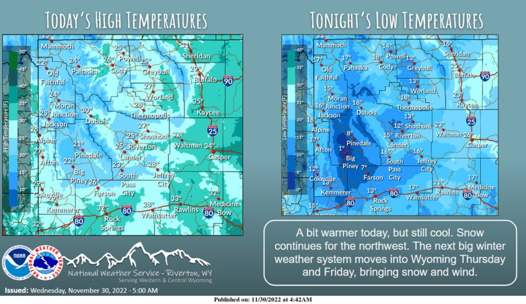
Tonight
Snow, mainly after 1am. Low around 19. Breezy, with a south wind around 23 mph becoming west after midnight. Winds could gust as high as 32 mph. Chance of precipitation is 80%. New snow accumulation of less than one inch possible.
Friday
A 30 percent chance of snow before 8am. Mostly cloudy, then gradually becoming sunny, with a high near 25. Wind chill values as low as -5. Windy, with a west wind 24 to 30 mph, with gusts as high as 41 mph.
Friday Night
Increasing clouds, with a low around 1. Wind chill values as low as -10. South southwest wind 6 to 14 mph, with gusts as high as 20 mph.
Saturday
Partly sunny, with a high near 24. South wind around 6 mph.
Saturday Night
Mostly cloudy, with a low around 11. South southwest wind around 6 mph.
Sunday
Scattered snow showers, mainly after 11am. Mostly cloudy, with a high near 31. South southeast wind around 7 mph becoming west in the afternoon. Chance of precipitation is 30%.
Sunday Night
Scattered snow showers. Mostly cloudy, with a low around 18. Chance of precipitation is 30%.
Monday
Scattered snow showers, mainly before 11am. Mostly cloudy, with a high near 29. Chance of precipitation is 30%.
Monday Night
Mostly cloudy, with a low around 12.
Tuesday
Partly sunny, with a high near 24. Breezy.
Tuesday Night
Partly cloudy, with a low around 5.
Wednesday
Mostly sunny, with a high near 21.
Whatever the weather, have a wonderful day!
From all of us here at SweetwaterNOW

