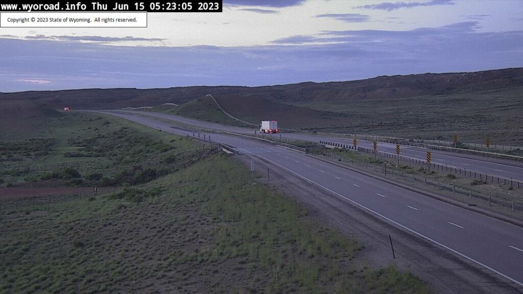

Weather Story
Showers and thunderstorms will become more numerous through the day today, especially East of the Divide. Heavy rain is possible in central Wyoming tonight, where local flooding is possible. Rain will become more showery on Friday. Saturday looks warmer and drier.
– Detailed Forecast –
Today
Scattered showers and thunderstorms before 11am, then showers likely and possibly a thunderstorm between 11am and 4pm, then scattered showers and thunderstorms after 4pm. Some of the storms could produce heavy rain. Mostly cloudy, with a high near 63. West wind 6 to 11 mph. Chance of precipitation is 70%. New rainfall amounts between a quarter and half of an inch possible.
Tonight
Scattered showers and thunderstorms. Some of the storms could produce heavy rain. Mostly cloudy, with a low around 43. West southwest wind 6 to 10 mph becoming north after midnight. Chance of precipitation is 30%.
Friday
Scattered showers, with thunderstorms also possible after noon. Partly sunny, with a high near 60. Northeast wind 6 to 10 mph. Chance of precipitation is 40%.
Friday Night
Partly cloudy, with a low around 41. East northeast wind 5 to 10 mph becoming light and variable.
Saturday
Sunny, with a high near 68. Breezy, with a west wind 6 to 11 mph increasing to 12 to 17 mph in the afternoon. Winds could gust as high as 26 mph.
Saturday Night
Partly cloudy, with a low around 45. Breezy, with a west wind 12 to 17 mph becoming south 6 to 11 mph after midnight. Winds could gust as high as 26 mph.
Sunday
Mostly sunny, with a high near 77. Breezy.
Sunday Night
Partly cloudy, with a low around 52. Breezy.
Juneteenth
Sunny, with a high near 79. Breezy.
Monday Night
Partly cloudy, with a low around 49. Breezy.
Tuesday
Sunny, with a high near 72. Breezy.
Tuesday Night
Partly cloudy, with a low around 45. Breezy.
Wednesday
Sunny, with a high near 73. Breezy.
Whatever the weather, have a wonderful day!
From all of us here at SweetwaterNOW