
Weather Story
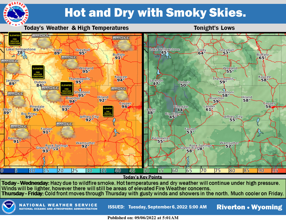
High pressure will keep the hot and dry weather today and Wednesday, with elevated fire weather concerns. Smoke from wildfires in Idaho and Oregon will continue to impact our skies. A cold front moves through on Thursday with gusty winds and showers in the north. Much cooler temperatures for Friday behind the front.
– Detailed Forecast –
Today
Widespread haze before 3pm, then widespread haze after 5pm. Areas of smoke between noon and 2pm. Sunny, with a high near 92. Southwest wind 6 to 13 mph becoming north northwest in the afternoon.
Tonight
Widespread haze before 7pm, then widespread haze after 2am. Areas of smoke between 7pm and 2am. Mostly clear, with a low around 57. North northwest wind 5 to 9 mph becoming light and variable.
Wednesday
Sunny, with a high near 92. East wind 5 to 13 mph becoming west in the afternoon.
Wednesday Night
Mostly clear, with a low around 56. Southwest wind 6 to 11 mph.
Thursday
Mostly sunny, with a high near 87. Breezy, with a west wind 5 to 10 mph increasing to 17 to 22 mph in the afternoon. Winds could gust as high as 33 mph.
Thursday Night
Mostly clear, with a low around 50. Breezy, with a west northwest wind 16 to 21 mph becoming west 7 to 12 mph after midnight. Winds could gust as high as 32 mph.
Friday
Sunny, with a high near 78. Breezy, with a south southwest wind 7 to 16 mph becoming north northwest in the afternoon. Winds could gust as high as 26 mph.
Friday Night
Mostly clear, with a low around 40. Breezy.
Saturday
Sunny, with a high near 72. Breezy.
Saturday Night
Mostly clear, with a low around 42.
Sunday
Sunny, with a high near 80.
Sunday Night
Partly cloudy, with a low around 50.
Monday
Mostly sunny, with a high near 79.
Whatever the weather, have a wonderful day!
From all of us here at SweetwaterNOW