As the weekend approaches, make sure to add looking at the snow report to your gear checklist!
Avalanche risk and conditions of the snow pack are as important to your safety as your snowsuit.
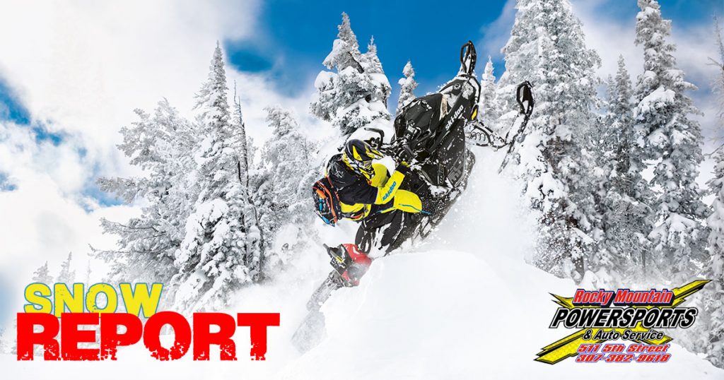
Your Weekend Snow Report is brought to you by Rocky Mountain Powersports.
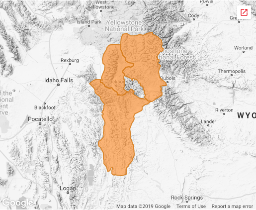
WESTERN WYOMING AVALANCHE ADVISORY
Moisture in a northwest flow produced areas of light density snow that heavily favored the Teton Range. Twenty-four snowfall totals are up to 20 inches on the west and east slopes of the Teton Range, up to 6 inches in the Togwotee Pass area and 4 to 8 inches in the Southwest Trails area. Snowfall densities were measured to be 3 percent in sheltered areas and 7.5 percent in wind exposed terrain. Temperatures were in the teens in the mountains and in the low to mid 20s in the valleys. Ridge crest winds were from the southwest to west-northwest at 20 to 35 with gusts from 40 to 60 miles per hour.
In areas exposed to the wind new soft slabs were forming on leeward aspects. These slabs grew to depths of 2 to 3 feet in the Teton Range. In the Tetons large loose snow sloughs and natural slab avalanche releases likely occurred on steep avalanche prone slopes. In other areas and at the lower elevations of the Teton Range small pockets of new soft slab 6 to 18 inches in depth formed on leeward aspects.
During the past seven days many skier triggered and naturally released slab avalanches have been reported to the avalanche center. Most but not all have occurred above an elevation of 7,500 feet. North through southeast aspects have been most active, however events have occurred on almost all aspects. Although some of these slides likely failed on density breaks many have failed on persistent weak layers of faceted snow that formed during a cold dry period before this storm cycle began. A significant number of these slides have been remotely triggered. Until today slab depths have generally been in the one to two foot depth range.
FORECAST FOR Thursday, January 24, 2018
Areas of moderate snowfall will continue this evening before gradually decreasing. Another 6 to 9 inches are possible at the higher elevations of the Teton Range. Other areas and the lower elevations can be expected to receive another 2 to 6 inches. Light snow showers will linger into Thursday with minor accumulations. Temperatures in the mountains will remain in the upper single digits and teens. Winds will veer to the northwest and decrease overnight and are forecast to back towards the southwest and increase in the afternoon.
Conditions remain dangerous. In the Teton Range new soft slabs and large loose snow sloughs are likely to be easily triggered by skier and riders and may release naturally. These new slabs could be up to three feet deep at the mid and upper elevations of the Tetons. In other areas and in the lower elevations of the Tetons pockets of new soft slab 6 to 18 inches in depth could be triggered by humans in steep wind loaded avalanche starting zones. In all areas older persistent slab avalanches could be triggered by humans or be triggered by the release of a surface slab. These dangerous slabs lie upon buried persistent weak layers and could be 2 to 4 feet deep in the Greys River and Togwotee Pass areas and 3 to 5 feet deep in the higher elevations of the Teton Range. The general avalanche hazard is expected to be considerable above an elevation of 7,500 feet in all of our forecast zones tomorrow and moderate below that elevation. Expert terrain elevation and snowpack evaluation skills and a conservative approach are essential for safe travel in avalanche terrain.
TREND THROUGH THE WEEKEND
For area specifics, go to the Bridger-Teton Avalanche Center website.
View a real-time snow accumulation map HERE.
The Weekend Snow Report is brought to you by:
 Ride safe and prepared!
Paid Advertisement - This post was paid for by the business or individual represented above. We reserve the right to remove any comments. If you'd like to advertise your business in a future promotion similar to this, call our Advertising Team at 307-922-0700 or send us a message.