
Weather Story
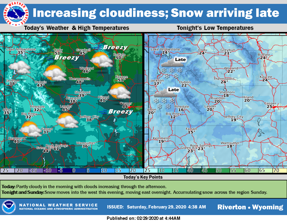
Clouds increase throughout the day. Snow moves into the region overnight, spreading west to east. Accumulating snow will be seen across the region on Sunday.
– Detailed Forecast –
Today
Mostly sunny, with a high near 42. Light and variable wind becoming west southwest 6 to 11 mph in the morning
Tonight
Snow likely, mainly after 4am. Increasing clouds, with a low around 23. South wind 9 to 11 mph. Chance of precipitation is 60%. New snow accumulation of less than a half inch possible.
Sunday
Snow. Patchy blowing snow after 4pm. High near 32. Breezy, with a south southeast wind 9 to 14 mph becoming east northeast 15 to 20 mph in the afternoon. Winds could gust as high as 30 mph. Chance of precipitation is 90%. New snow accumulation of 1 to 3 inches possible.
Sunday Night
Snow likely, mainly before 2am. Patchy blowing snow before midnight. Mostly cloudy, with a low around 7. Wind chill values as low as zero. Blustery, with an east northeast wind 16 to 21 mph decreasing to 7 to 12 mph after midnight. Winds could gust as high as 31 mph. Chance of precipitation is 70%. New snow accumulation of less than one inch possible.
Monday
Mostly sunny, with a high near 32. Breezy, with a west wind 11 to 16 mph increasing to 18 to 23 mph in the afternoon. Winds could gust as high as 33 mph.
Monday Night
Mostly clear, with a low around 15. Breezy, with a west wind 20 to 24 mph, with gusts as high as 33 mph.
Tuesday
Sunny, with a high near 35. Breezy, with a west wind 18 to 21 mph, with gusts as high as 31 mph.
Tuesday Night
Partly cloudy, with a low around 22. Breezy.
Wednesday
Partly sunny, with a high near 39. Breezy.
Wednesday Night
Partly cloudy, with a low around 22. Breezy.
Thursday
Sunny, with a high near 39.
Thursday Night
Partly cloudy, with a low around 22.
Friday
Sunny, with a high near 46.
Whatever the weather, have a wonderful day!
From all of us here at SweetwaterNOW