
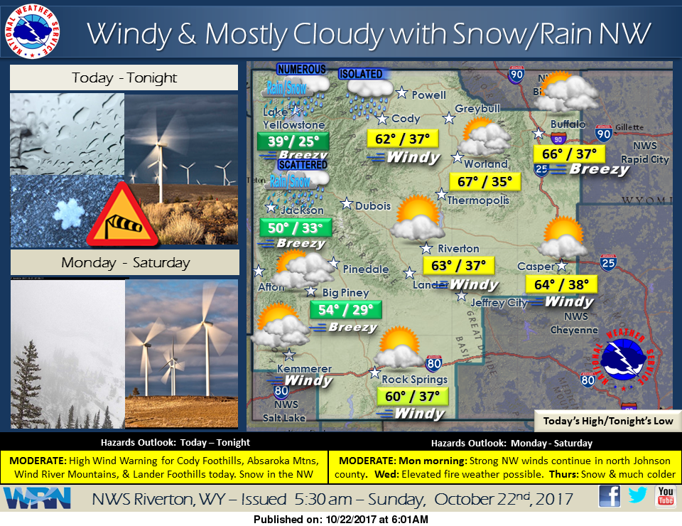

High pressure building over the Great Basin region will keep gusty winds across Wyoming today, especially across the Cody Foothills. Otherwise, snow will continue across the far west, switching to rain in some lower elevations. Drier and mild conditions will then dominate statewide Monday and Tuesday.
Detailed Forecast
This Afternoon
Mostly sunny, with a high near 57. Windy, with a west wind 22 to 30 mph, with gusts as high as 41 mph.
Tonight
Partly cloudy, with a low around 37. Windy, with a west wind 20 to 25 mph becoming southwest 13 to 18 mph after midnight. Winds could gust as high as 36 mph.
Monday
Mostly sunny, with a high near 57. Breezy, with a south southwest wind 14 to 21 mph becoming west northwest in the afternoon. Winds could gust as high as 29 mph.
Monday Night
Mostly clear, with a low around 29. Blustery, with a west wind 17 to 22 mph decreasing to 10 to 15 mph after midnight. Winds could gust as high as 31 mph.
Tuesday
Sunny, with a high near 59. West wind around 11 mph.
Tuesday Night
Clear, with a low around 32. Southwest wind 9 to 11 mph.
Wednesday
Sunny, with a high near 64. Breezy, with a west southwest wind 9 to 14 mph increasing to 16 to 21 mph in the afternoon. Winds could gust as high as 30 mph.
Wednesday Night
A slight chance of rain between midnight and 5am, then a slight chance of snow after 5am. Mostly clear, with a low around 32. Breezy. Chance of precipitation is 20%.
Thursday
A slight chance of rain and snow, mainly between 11am and noon. Partly sunny, with a high near 44. Breezy. Chance of precipitation is 20%.
Thursday Night
Partly cloudy, with a low around 22.
Friday
Sunny, with a high near 47.
Friday Night
Partly cloudy, with a low around 25.
Saturday
Sunny, with a high near 53.
Advertisement - Story continues below...

