
Weather Story
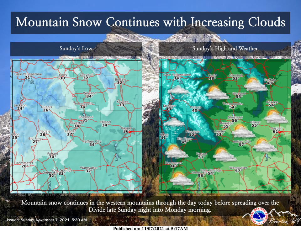
Snow will continue in the western mountains today. Increasing clouds, mild temperatures and mostly dry weather can be expected across the eastern areas. Widespread showers will spread across the area to start the work week.
– Detailed Forecast –
Today
Mostly sunny, with a high near 55. East southeast wind 5 to 11 mph becoming west northwest in the afternoon.
Tonight
A slight chance of rain showers before 2am, then a chance of rain and snow showers. Mostly cloudy, with a low around 33. Northeast wind 6 to 8 mph becoming north northwest in the evening. Chance of precipitation is 40%. Little or no snow accumulation expected.
Monday
A chance of rain and snow showers, mainly between 8am and 11am. Cloudy, then gradually becoming mostly sunny, with a high near 44. South southwest wind 6 to 11 mph becoming west in the afternoon. Chance of precipitation is 30%.
Monday Night
Partly cloudy, with a low around 30. Light and variable wind becoming east southeast 5 to 7 mph in the evening.
Tuesday
A 20 percent chance of rain after 11am. Partly sunny, with a high near 47. Breezy, with a south wind 8 to 17 mph becoming west in the afternoon. Winds could gust as high as 24 mph.
Tuesday Night
A chance of rain before midnight, then a chance of rain and snow between midnight and 4am, then a chance of snow after 4am. Mostly cloudy, with a low around 31. Breezy, with a west wind 11 to 20 mph, with gusts as high as 28 mph. Chance of precipitation is 40%.
Wednesday
A 20 percent chance of snow before 11am. Mostly sunny, with a high near 40. Breezy, with a west wind around 22 mph, with gusts as high as 30 mph.
Wednesday Night
Partly cloudy, with a low around 29. Blustery.
Thursday
Mostly sunny, with a high near 41. Breezy.
Thursday Night
Partly cloudy, with a low around 30. Blustery.
Friday
Mostly sunny, with a high near 48. Breezy.
Friday Night
Partly cloudy, with a low around 32. Breezy.
Saturday
Mostly sunny, with a high near 50.
Whatever the weather, have a wonderful day!
From all of us here at SweetwaterNOW

